Col of the day... Col de la Croix de Fer

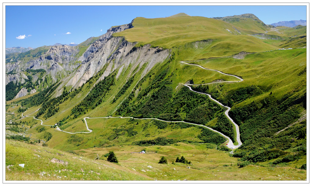
When you reach the crossroad with the Glandon, you can make a small detour of 1,5 km to reach the top of the Croix the Fer and to enjoy the view. Note that the climb is closed from the beginning of November to the beginning of May.
Cycling Facts:
Average grade: 5.1 %
Length: 30 km
Height start: 546 m
Height top: 2068 m
Ascent: 1522 m
http://www.thetigneschaletcompany.com
posted by The Tignes Chalet Company at
12:03
![]()


0 Comments:
Post a Comment
Subscribe to Post Comments [Atom]
<< Home